Harnessing the latest technology, Fyfe delivers a truly national geospatial service, including surveying, GIS, reality capture and RPAS (drone) solutions.
Fyfe delivers surveying and geospatial solutions across major infrastructure, energy, resources, transport, defence, and urban development projects throughout Australia. From complex linear infrastructure and large-scale construction programs to land development and property projects, our multidisciplinary teams provide the technical capability, systems and national reach to support projects from planning and design through to construction and asset delivery.
Fyfe has extensive experience in property projects including over 400 major land development projects, 5,000 minor land development projects, and 2,500 residential boundary surveys in both urban and rural settings.
- Identifying and re-establishing boundaries of land subject to development
- Providing contour overlays to enable drainage, road and foundation design requirements
- Conceptual subdivision layout and head works
- Providing the options of GPS, Drone, Conventional instruments, or highly accurate laser scanning facilities to meet all accuracy criteria for design.
Detailed surveys are backed by our professional drafting team who can supply detailed plans in the client’s preferred CAD format.
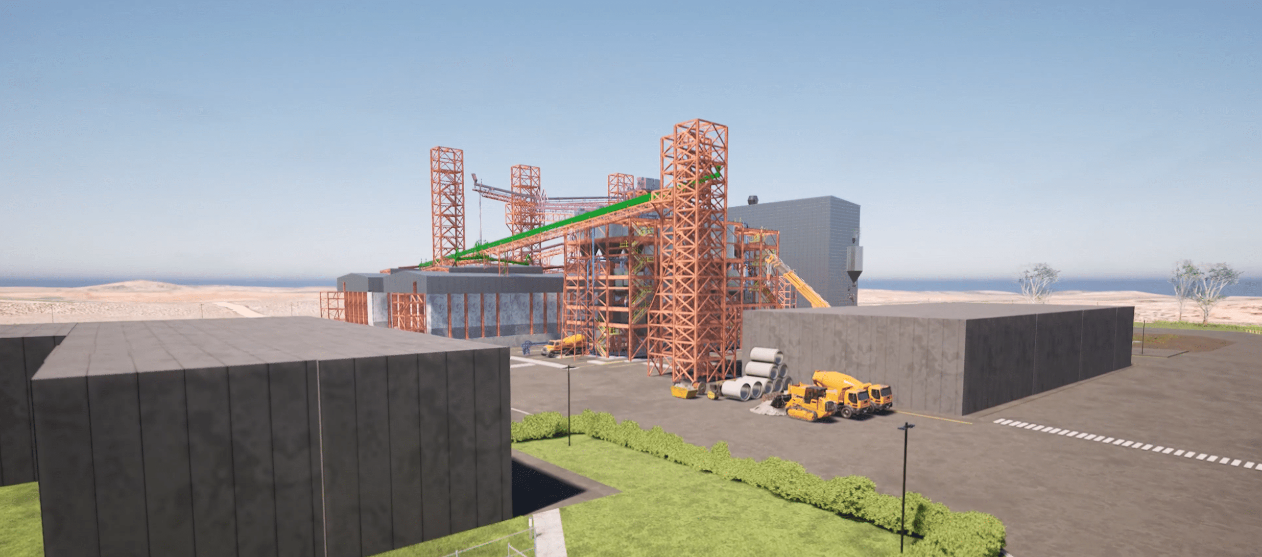
Fyfe’s construction survey teams have supported major infrastructure construction projects within a wide range of environments including urban, rural and remote areas of Australia.
Our teams have experience in:
- Bridges
- High Voltage Transmission lines
- Mines and associated facilities
- Naval shipyards
- Pipelines
- Process plant (LNG, oil and gas)
- Rail
- Roads
- Solar farms
- Wharfs
- Wind farms
Construction survey services include:
- Project management of surveying and engineering works
- Dilapidation survey
- Detail Survey for design
- Construction set out
- As-built surveys
- Quality assurance and third-party confirmation
- Data management
- Machine Guidance Support including setting up control for construction, creating design surface models, and daily monitoring of the plant operator’s data; and
- Accurate end of month volume surveys via drone or conventional methods.
Fyfe has established survey drafting and GIS resources that ensure client expectations are met.
All survey personnel have white cards, industry inductions, senior first aid certificates and can meet site entry criteria.
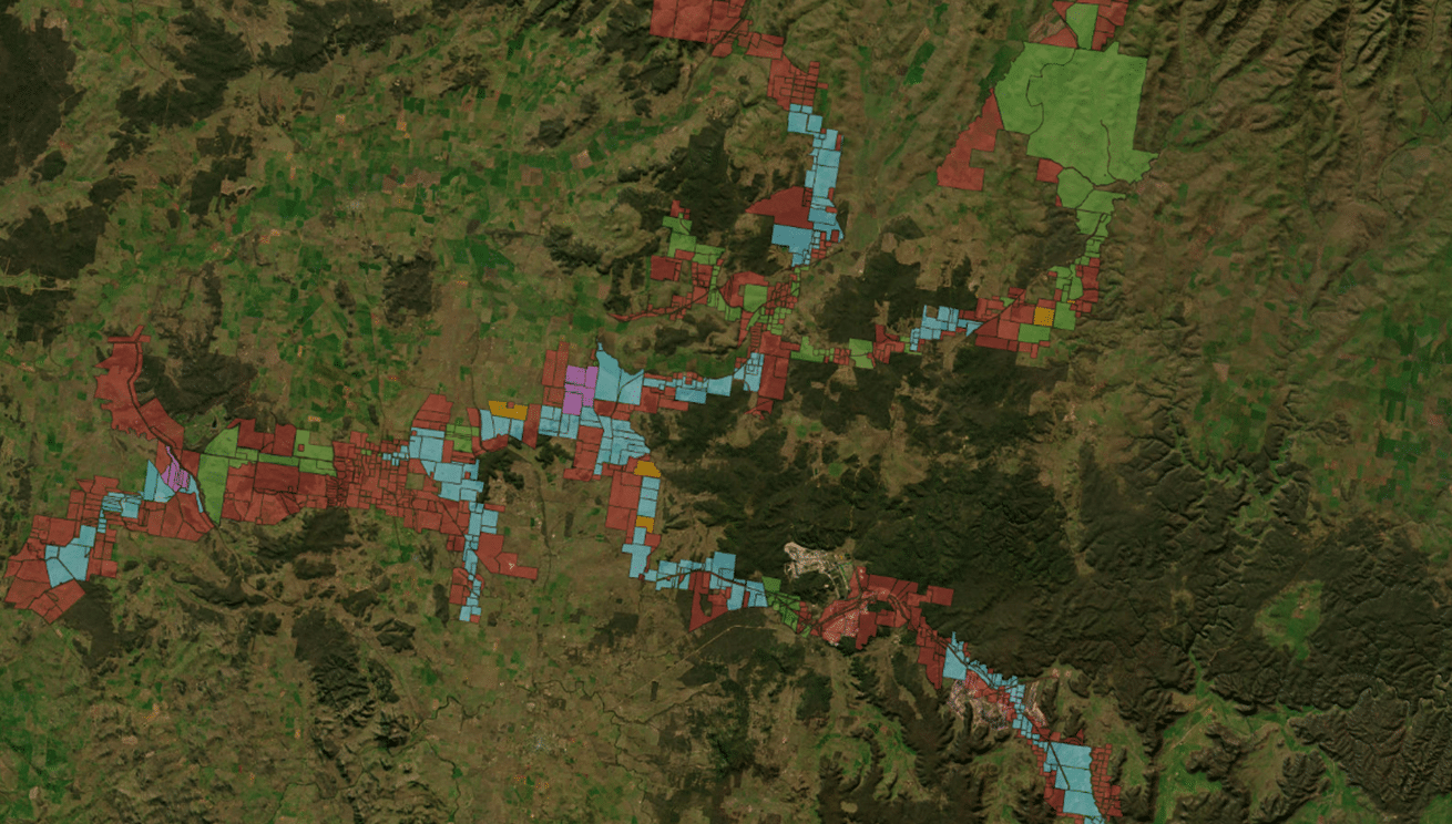
Fyfe’s team of geospatial specialists work on geographical information system (GIS) mapping and spatial data management projects.
Our team develop processes and tools to ensure fast and accurate data capture and delivery. We manage and maintain large and complex datasets for our clients on an ongoing basis.
We have extensive experience in creating and maintaining geospatial data. This includes GIS database development and management for uses including:
- Business Management
- Asset Management
- Surface Generation and Analysis
- Environment Investigations; and
- Locational Analysis and Planning.
Reality capture uses modern measurement technologies to create a digital representation of the world around us. Fyfe employs 3D laser scanning, aerial LiDAR, and aerial photogrammetry from RPAS (drones) combined with traditional survey techniques to create accurate representations of built environments.
Reality capture can take one, or a combination, of the following formats:
- Point Cloud Dataset: millions of spatially correct points used to represent a feature, area or surface. Points can be true colour, coloured by intensity of returns and coloured by temperature mapping depending on requirement.
- Digital Terrain/Elevation Model: as-built surface represented by many small triangles which accurately approximate the shape of the surface.
- 3D Model: 3D CAD Model (such as AutoCAD, Revit, Microstation) features created from point cloud data used to represent/generalise/simplify physical features.
- Cinematic Video/Photography: used to capture/convey visual information of a subject area.
- Attributes: datasets, geotagged with attribute information add value for ongoing Asset Management.
The benefits of reality capture include:
- Dimensional Control methodologies deliver clash free designs, enables prefabrication, eliminates rework and reduces schedule
- Fast, accurate and comprehensive field measurements of entire sites
- Can reduce the duration of site visits and requirement for re-visits
- Access data in various formats, including free viewing and measurement tool; and
- Reduce physical access requirements in hard to reach or potentially hazardous areas.
The applications of reality capture include:
- Architectural Design
- Asset Management and Documentation
- Heritage Preservation
- Corridor Mapping
- Surface Meshing
- End of month – progress claims, stockpile surveys
- Environmental – Vegetation Re-Growth, Rehabilitation Progress
- As-builts of Plants, Facilities, MEP
- Land Developments
- Development Concepts
- Topographic Surveys
- Reverse Engineering; and
- Forensic Investigations.
Remotely Piloted Aircraft Systems (RPAS) have allowed high-quality 3D mapping data to become much more accessible, which enables better management, faster and more informed decision making, and provides an accurate high-resolution archival record of every centimetre of a site.
Fyfe provides professional aerial mapping, survey, 4k cinematic video and inspection services throughout Australia utilising our cutting edge RPAS or drone technology.
We can create on demand, high resolution geo-referenced aerial maps in 3D, which can be used in many industries and organisations. Fyfe also utilises a cloud-based delivery system so clients can better manage their sites without having to handle large data files locally.
From EOM stockpile calculations, to assessing site safety, RPAS captured data can be utilised by many divisions within a single organisation.
Fyfe holds a Remotely Piloted Aircraft Operator’s Certificate, and all of our pilots, who are also surveyors, are all certified by CASA and can validate the accuracy of our mapping deliverables.
Fyfe has accreditation in Basic Aviation Risk Standard (BARS), reflecting our unwavering dedication to maintaining the highest standards of aviation safety and risk management.
The BARS certification signifies that our operations, including aerial surveys and related services, meet and exceed globally recognised benchmarks for safety and reliability.

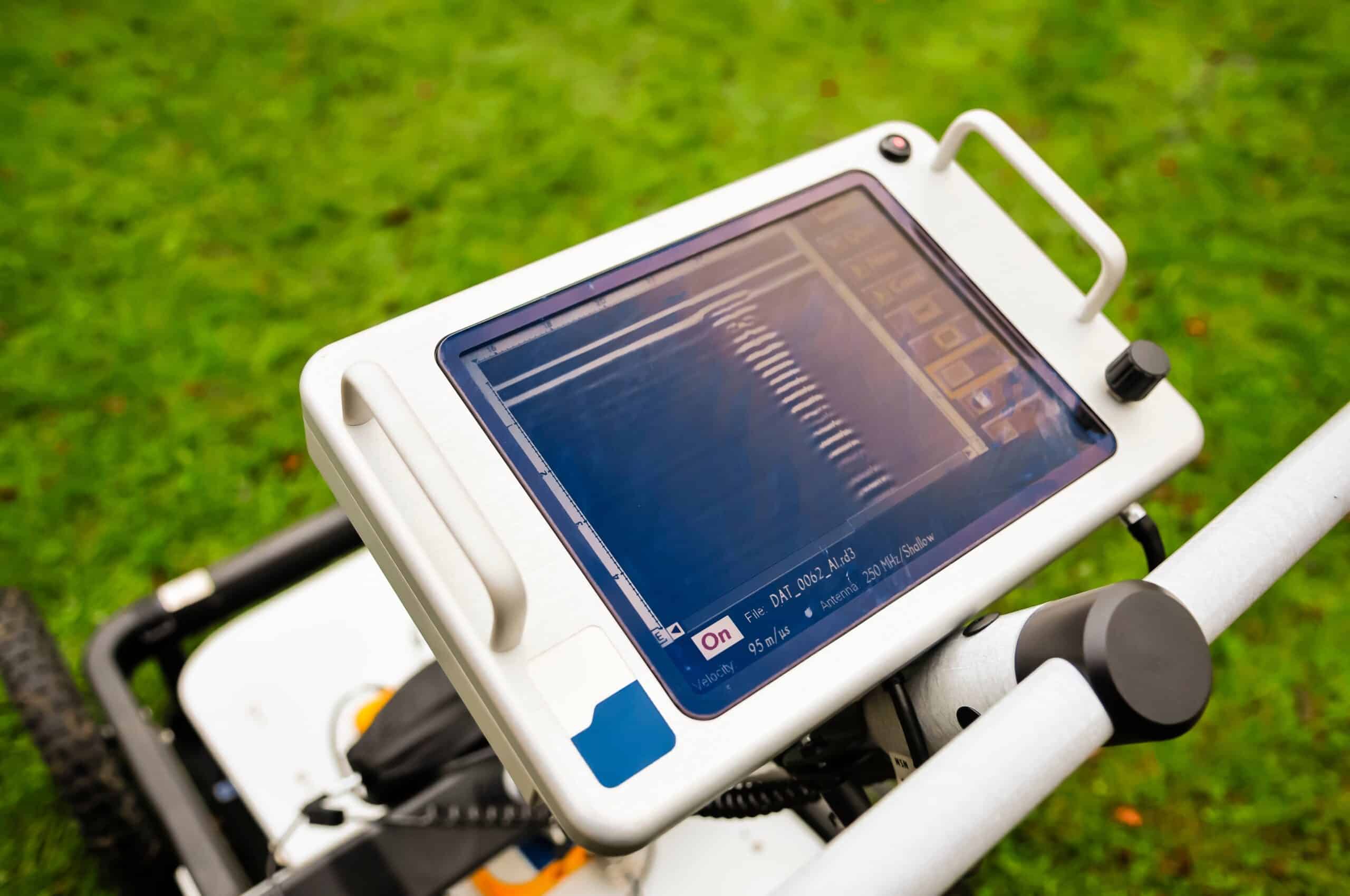
Service locating, concrete scanning and ground-penetrating radar (GPR) complement the extensive survey services that Fyfe offer. Enhancing overall deliverables for clients, these services provide critical information with accurate, physical markings indicating utility locations. These services are available independently or in conjunction with Fyfe’s survey services.
Service locating, also known as utility locating or Electro-Magnetic Frequency (EMF) is where a transmitter is connected to a service and can transmit or induce a tuned frequency onto the service. This tuned frequency is picked up by the receiver, which can assist the operator in following where the signal is coming from and where it is going. This enables the location of the underground service to be shown and marked, with depths to give the client a visual reference. Clients can then take caution when conducting excavation or building works, where underground services may exist. Common services located include electrical or communications cabling and water or gas piping.
GPR is a method of locating where an antenna is mounted on a cart and it sends signals through the earth. When the signal hits an object, known as a target, the signal bounces back up to the cart. The GPR software calculates the time return in Nanoseconds (Ns) to calculate the position and depth of the target found. GPR is useful for detecting services that are made of non-conductive material and therefore won’t be located using the EMF locator, such as poly pipes and PVC conduits.
Concrete scanning is a smaller, but specifically tuned GPR, which has been designed for inspection of concrete structures. Concrete scanning is often confused with concrete X-ray. The GSSI StructureScan Mini XT Concrete Scanner Fyfe utilises poses no radiation danger, unlike concrete x-ray. Concrete Scanning is typically used to detect and mark out structural reinforcement, post-tension cables, structural beams, and services located within the concrete.
Video
Survey
Services