Skip to content
About
Board
Executives
Reporting and Compliance
Sectors
Defence
Energy & Resources
Power
Property & Infrastructure
Renewables
Services
Engineering
Environment
Planning
Survey
Case Studies
News
Life at Fyfe
Culture
Diversity and Inclusion
Community
Careers
Students & Graduates
Contact Us
About
Board
Executives
Reporting and Compliance
Sectors
Defence
Energy & Resources
Power
Property & Infrastructure
Renewables
Services
Engineering
Environment
Planning
Survey
Case Studies
News
Life at Fyfe
Culture
Diversity and Inclusion
Community
Careers
Students & Graduates
Contact Us
Search
Search
Home
Case Studies
Case Studies
All
Engineering
Environment
Survey
Power networks
Energy & Resources
Renewables
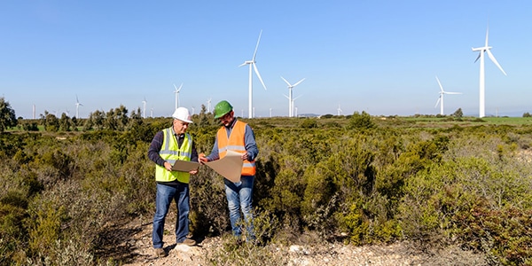
Operational Audits For Wind Farms
Read more
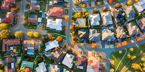
Strategic Biodiversity Assessments for Melbourne’s Growth Areas
Read more
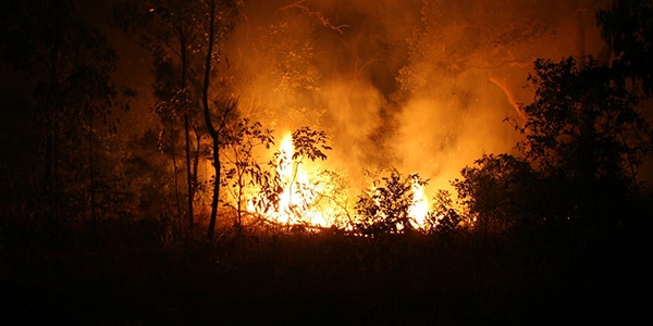
Bushfire Management Reports for Residential Subdivisions
Read more
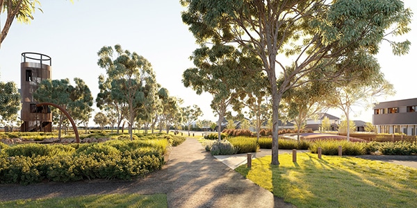
Woodlea Masterplanned Community
Read more
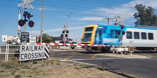
Level Crossing Removal Project
Read more
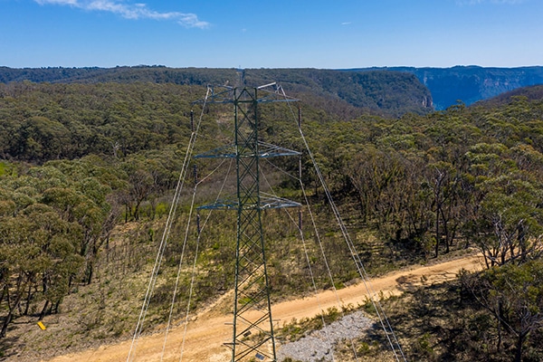
Energy Connect West and East Sections
Read more
Clarke Creek Wind Farm
Read more
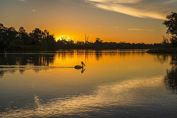
Lake Victoria AHIP Renewal
Read more
Algae Farm Monitoring
Read more
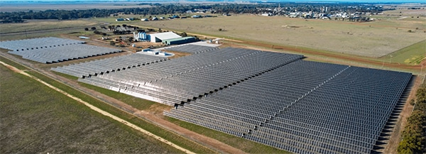
Walla Walla Solar Farm
Read more
Bringing Murrumbidgee Solar Farm to life
Read more
Going solar on Phillip Island
Read more
Previous
Page
1
Page
2
Page
3
Page
4
Next
Show All
BESS
Energy & Resources
Engineering
Environment
Hydrogen
Power networks
Property & Infrastructure
Renewables
Solar
Survey
Wind
Show All
Show All
BESS
Energy & Resources
Engineering
Environment
Hydrogen
Power networks
Property & Infrastructure
Renewables
Solar
Survey
Wind
Operational Audits For Wind Farms
Read more
Strategic Biodiversity Assessments for Melbourne’s Growth Areas
Read more
Bushfire Management Reports for Residential Subdivisions
Read more
Woodlea Masterplanned Community
Read more
Level Crossing Removal Project
Read more
Energy Connect West and East Sections
Read more
Clarke Creek Wind Farm
Read more
Lake Victoria AHIP Renewal
Read more
Algae Farm Monitoring
Read more
Walla Walla Solar Farm
Read more
Bringing Murrumbidgee Solar Farm to life
Read more
Going solar on Phillip Island
Read more
Showing Slide 1 of 13
1
2
3
4
Next »