Imagine putting on a VR headset and inspecting a site in photo-realistic, 3D detail. Zoom in and out at will and move around to check the site’s measurements, components and, crucially, its potential.
By Chris Moore, General Manager Survey and Brian Hammonds, Registered Surveyor & UAV Pilot
Photogrammetry — the science of constructing 3D representations of objects and environments from photographs and other data points — is advancing, and we expect to see virtual inspections in the not-so-distant future.
Fyfe is constantly evolving to meet the needs of Australian companies, as are the technologies we employ. While methods and technologies used ten years ago are still useful, we know that today’s cutting-edge solutions in the modern geospatial world can deliver greater value to our clients with modern technologies, advanced training of our people the key to advancing our reputation for innovation and interaction.
This is readily apparent in our surveying division where the best tools for the job are the tools we use. For each task, we assess what our client wants to achieve, why it matters, and how we can use innovative technologies to go above and beyond.
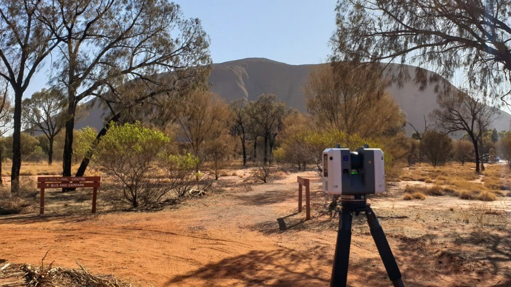
Reality capture
Reality capture, for instance, allows us to create incredibly accurate 3D digital representations of sites (whether there are buildings present or not) and structures.
Modern measurement technologies, such as 3D laser scanning, are employed through the use of on-ground and aerial tools. Remotely piloted aircraft systems (RPAS) mean access to hard to reach sites and dynamic insights into already developed areas is now more achievable. From there, our geospatial analysts go to work using specialised Reality Capture software to create digital representations.
These hyper-realistic and data-forward representations are then delivered in a suitable format to clients who gain a full overview of a site. When paired with Fyfe’s underground surveying services, we can also deliver representations of what’s above and below the ground.
Reality capture techniques and tools can be employed alongside traditional surveying methods. For example, the RPAS drone system and terrestrial laser scanning can be used in dilapidation surveys to supplement existing methods.
All industries and sectors are moving towards greater digitisation, and our clients benefit from having the complete information reality capture offers at the start of a project. Given the level of detail and the depth of the intel provided, there is less chance of projects being paused or plans needing to be resubmitted.
Reality capture ultimately helps keep projects on time, on budget, and to specification while lowering risk.
It can also expedite the surveying process, allowing us to capture vast areas quickly, access hazardous or otherwise inaccessible areas, and get the information to our clients faster.
Delivering value through integration
It’s not just our Geospatial department (and survey clients) that benefit from reality capture technologies. Our environmental, planning, construction and engineering clients all gain a competitive edge by having access to these services.
By integrating our offerings across departments and state lines, and by employing the latest technologies, we deliver a truly national service that puts in-depth data at the fore. The result is information our clients can count on.